Assessing Trail and Potential Injury Prone Areas in UTM Rec

Enhancing safety on trails through assessment and mitigation strategies

Learn More

About UTM Recreational Forest


Trail Project Image
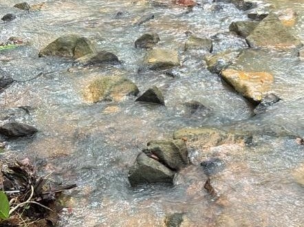
  • The UTM Recreational Forest is located in the UTM Campus Forest Reserve, Johor Bahru, Johor, covering an area of 37.5 square kilometers, and is one of the recreational spots on campus. In addition to its hilly topography, the forest also features valleys and several springs for river irrigation.
  • This forest also has its own uniqueness as it serves as a habitat for various species of flora and fauna, some of which are over 20 years old.
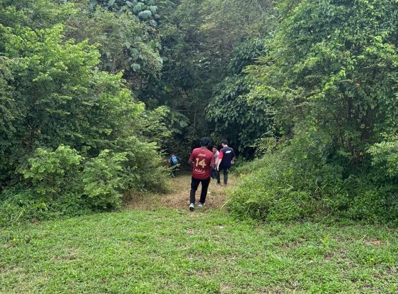
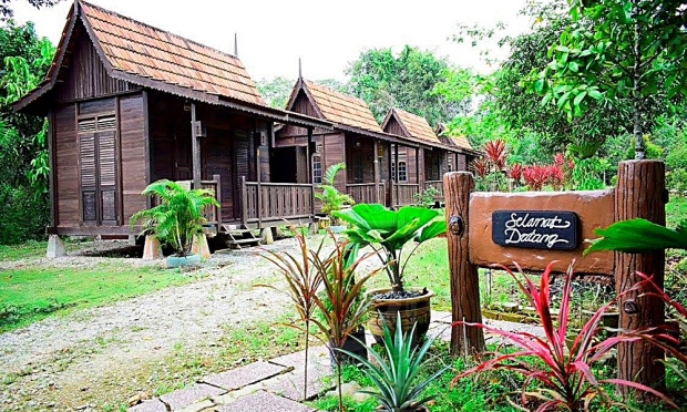
  • The Recreational Forest was established to accommodate the needs for leisure activities, recreation, camping, and co-curricular activities for UTM students/staff in particular and the surrounding community of Johor Bahru in general.

Output Trails


Map of Trails and Potential Injury Prone Area

Trail Map
Trail 1 - Tar Road
  • Level: Easy
  • Condition: Steep slope
  • Expected Completion Time: 1 hour 30 minute
  • Destination: Balai Cerap
Trail 2 - Trekking
  • Level: Moderate
  • Condition: Steep slope, rocky, slippery
  • Expected Completion Time: 1 hour 18 minute
Trail 3 - River
  • Level: Difficult
  • Condition: Steep slope, rocky, slippery
  • Expected Completion Time: 4 hour

Output Map

Incident type analysis

Common Hazards


Trail 3

Slippery Surfaces

Wet rocks, moss, and muddy sections create fall hazards, especially after rainfall.

Trail 3

Rocky Surfaces

Loose gravel, eroded paths, and unstable slopes increase the risk of falls and injuries.

Trail 3

Water Crossing

River crossings pose risks of slipping and falling.

Trail 3

Slope Surfaces

Inadequate trail marking can lead to getting lost or wandering into dangerous areas.

Mitigation Strategies


Trail Infrastructure Improvement

  • Installation of handrails and steps in steep sections
  • Building proper bridges at water crossings
  • Reinforcing trail edges in high-risk areas

Hazard Reduction Measurement

  • Improved signage and trail markers
  • Hazard warning signs at high-risk areas
  • Mobile app alerts for changing conditions

Monitoring and Continuous Assessment

  • Regular trail inspections and condition reports
  • Prompt removal of fallen trees
  • Seasonal maintenance of water management systems

Our Team


Team Member 1

Nur Dini

Project Lead & Programmer

Team Member 2

Patricia

Data Analyst

Team Member 3

Fatimah

Map Designer

Team Member 4

Yoga Roobini

Gis Specialist

Get In Touch

Have questions about our project or want to report a trail hazard?